Remote sensing helps scientists monitor coral reefs. Various parameters can be measured including temperature, turbidity, chorophyll a, wave height and ocean currents. By monitoring these levels over time, predictions can be made on threats to reef areas like coral stress and coral bleaching.
NOAA CORAL REEF WATCH
|
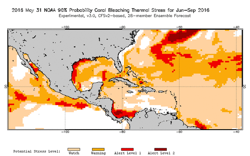
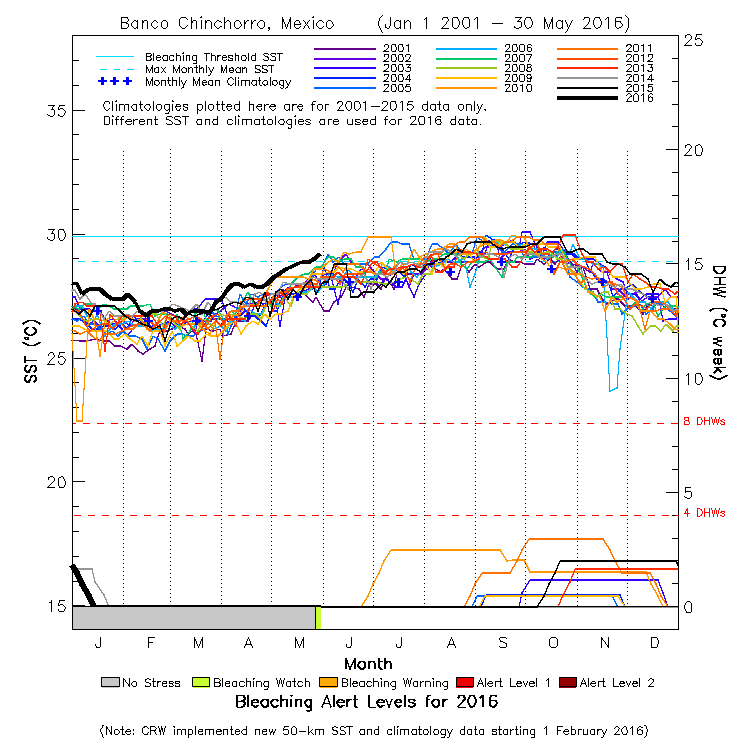
NOAA has several virtual products that help predict levels of stress and coral bleaching.
EXPERIMENTAL PRODUCTS Coral Bleaching Thermal Stress 90%
Bleaching Alert Levels
|
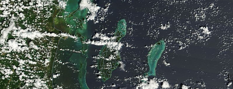
NASA Worldview
NASA Worldview is a product that provides a recent image of the Earth. Useful for monitoring turbidity along coastlines, or cloudcover.
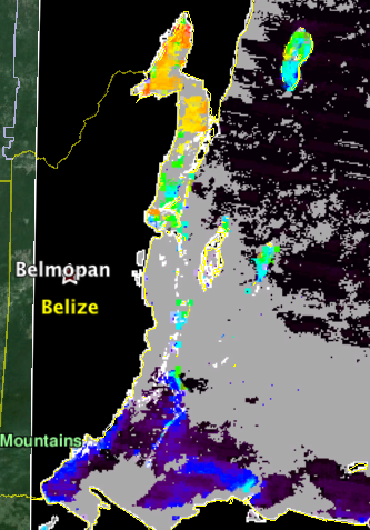
MODIS - Moderate Resolution Imaging Spectroradiometer
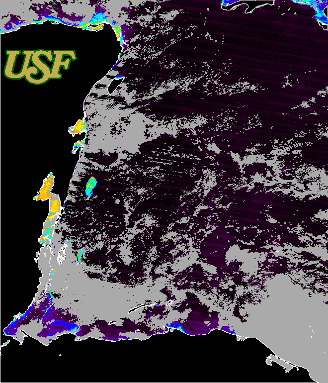
Satellites measure the color of the ocean to determine the amount of chlorophyll present. The ocean color is often blue, but the satellite can detect very small changes in the ocean color as a result of the chlorophyll in phytoplankton. Yellow and red colors represent higher chlorophyll, and dark blue colors represent lower chlorophyll measurements. Satellite measurements need to be compared to field measurements to calibrate the satellite measurements.*
* University of Rhode Island
* University of Rhode Island
|
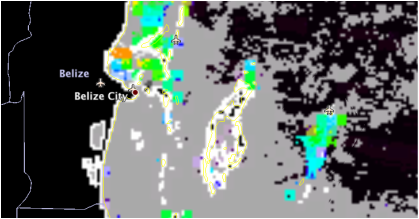
The University of South Florida compiles MODIS (Moderate Resolution Imaging Spectroradiometer) products for Belize. These satellite images can be compared to ground truthed data and personal observations, and to the imagery available in NASA Worldview above. The maps are not 100% accurate but do provide information on a large scale.
|
Note: Special thanks to Emil Cherrington and the Belize Group on Earth Observations & GIS for providing links used to prepare this page!

